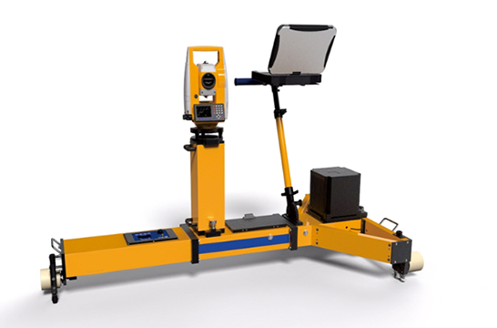
GAIS800G geometric attitude track surveying system is a GNSS-assisted inertial navigation system for high-speed and dynamic precision measurement of orbital geometry. The multi-satellite GNSS system consisting of Beidou, GPS and GLONASS can provide long-distance and large-scale relatively accurate auxiliary correction information for the inertial navigation system in real time. The tactical-level inertial navigation system with high precision and low drift can be achieved with a unique combination algorithm. Very high dynamic measurement accuracy, its operation mode will subvert the tradition. This product also integrates a variety of high-precision sensors such as high-speed acquisition and storage systems, gauge and mileage measurement. For existing lines, it can quickly measure without relying on CPIII and complete design parameters. It can be used as a basis for the restoration of line geometric parameters. In order to guide the tamping operation of large machines, it can also replace the track inspector for daily inspection of track geometric status. The operation is simple, the environment adaptability is strong, and the measurement efficiency is particularly outstanding.

