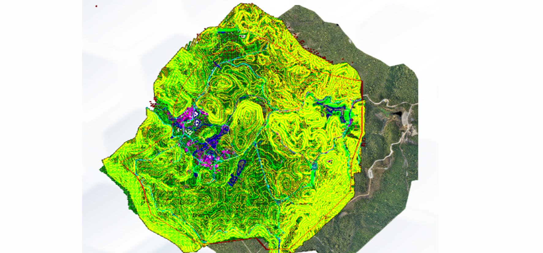
 In aerial photogrammetry, the drone continuously observes GNSS satellites while acquiring aerial photographs. It connects and cooperates with the on-board camera through the on-board GNSS receiver to accurately write the external event interface and the exposure pulse of the aerial camera. Into the GNSS data stream. Carrier phase-based GNSS dynamic positioning technology post-processing is used to obtain the 3D coordinates of the camera's exposure time at the airborne camera. This is taken as the weighted observations and introduced into the photogrammetry area network adjustment. The unified mathematical model is used to determine the ground as a whole The target points and the azimuth elements outside the image are used to obtain accurate aerial camera exposure point coordinates through the GNSS receiver, thereby reducing image control points or not even using image control points. This technique is called GNSS-assisted aerial triangulation. GeoRTK provides UAV 1:500 Mapping Solution based on our own leading technology and industrial concepts .In aerial photogrammetry, the drone continuously observes GNSS satellites while acquiring aerial photographs. It connects and cooperates with the on-board camera through the on-board GNSS receiver to accurately write the external event interface and the exposure pulse of the aerial camera. Into the GNSS data stream. Carrier phase-based GNSS dynamic positioning technology post-processing is used to obtain the 3D coordinates of the camera's exposure time at the airborne camera. This is taken as the weighted observations and introduced into the photogrammetry area network adjustment. The unified mathematical model is used to determine the ground as a whole The target points and the azimuth elements outside the image are used to obtain accurate aerial camera exposure point coordinates through the GNSS receiver, thereby reducing image control points or not even using image control points. This technique is called GNSS-assisted aerial triangulation. GeoRTK provides UAV 1:500 Mapping Solution based on our own leading technology and industrial concepts .