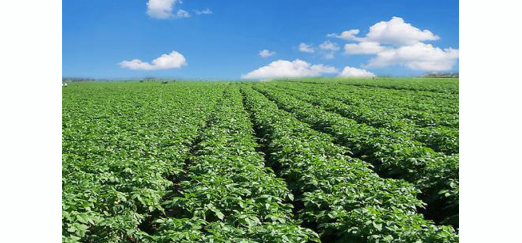
 The sampling survey of crops on the ground is a major reform of crop sampling survey methods in China, that is, the transformation from the traditional "personal survey" to "land survey". Using GeoRTK GIS platform series products can ensure efficient and convenient ground investigation.
1. The data format remains the same, and the data exchange is automated / semi-automatic to reduce unnecessary investment.
2. Connect several key business links such as data management, task division, data collection, results analysis and display to ensure the integrity of the business, and gradually improve based on the existing work.
3. Make full use of the working foundation of the existing statistical remote sensing public service platform, improve the availability and visual effects of the survey basemap, simplify the operation of data configuration, distribution and use, and improve efficiency.
4. It is specially customized for the ground investigation business, and integrates navigation, camera, recording and other functions into the business system, with simple operation, friendly interface and strong pertinence.

