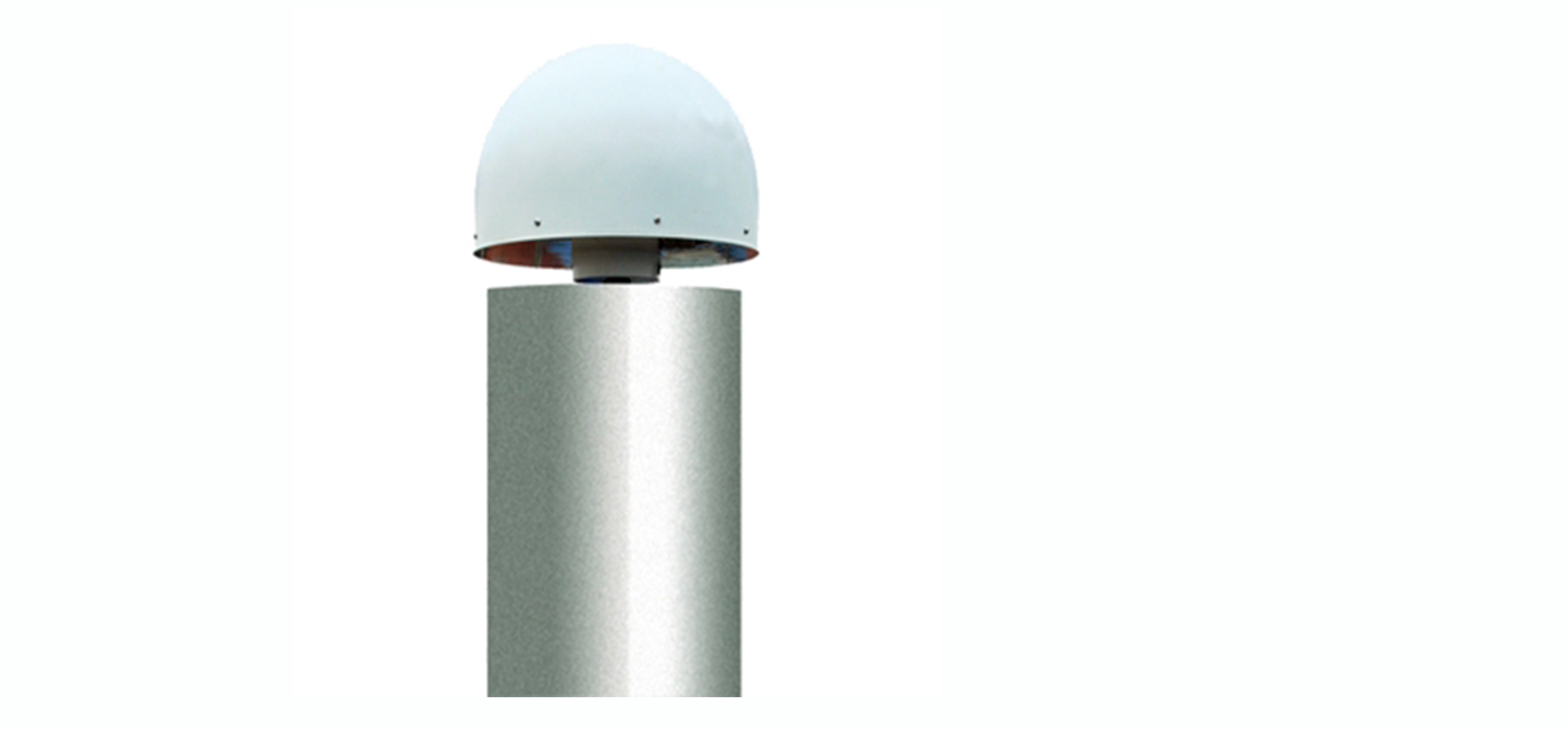
GeoRTK single reference station technology allows users to lay out reference stations evenly and sparsely in a large range. Using the GeoRTK network reference station system software (VRS), the system's real-time observation data of the reference station network is used to model systematic errors. Then, the system error of the observation data of the rover users in the coverage area is estimated, and the influence of the system error is eliminated as much as possible to obtain the centimeter-level real-time positioning results.
GeoRTK single reference station CORS uses precise ephemeris and precise clock difference, and collects the synchronous observation values of the three nearest reference stations for differential processing to generate a set of area correction parameters for each triangle. The comprehensive error in the area is simulated by the triangle network Correct the model. The observational data of multiple reference stations are used to optimize the comprehensive error models such as the ionosphere, troposphere, orbit error, and the integrity of the reference station data is continuously monitored. Model coverage includes 30 kilometers inside and outside the triangle network. When the GeoRTK single reference station CORS works, the system simulates the comprehensive error of the point according to the rover position, which is equivalent to generating a "virtual reference station" on the rover position for short referenceline calculation.The services of the GeoRTK single reference station CORS system can be widely used to monitor crustal movement, provide measurement control, support measurement, GIS data acquisition, mechanical control, and precise positioning and monitoring.
Solution Features:
1. All users share the established coordinate frame;
2. Provide integrity monitoring of data collection process;
3. Use determined communication to improve initialization time and work longer distances;
4. Significantly reduce system errors, improve accuracy, and make the accuracy more uniform;
5. Eliminates the risks associated with relying on a single reference station;
6. Uniform and much higher accuracy than traditional geodetic control nets.

